HURRICANE HIT: Pike County escapes brunt of catastrophic storm
Published 4:00 am Thursday, October 11, 2018
County and city officials watched with bated breath Tuesday night into Wednesday morning as Hurricane Michael intensified from a category two to a category four and made its way north for the Florida panhandle.
By the time the storm finally made landfall Wednesday afternoon, the storm was registering winds of 155 miles per hour, just 2 mph shy of category 5 status.
County officials were watching and waiting, hoping and praying that the storm continued to follow the projected track that the storm would make an eastward turn as it approached the shore.
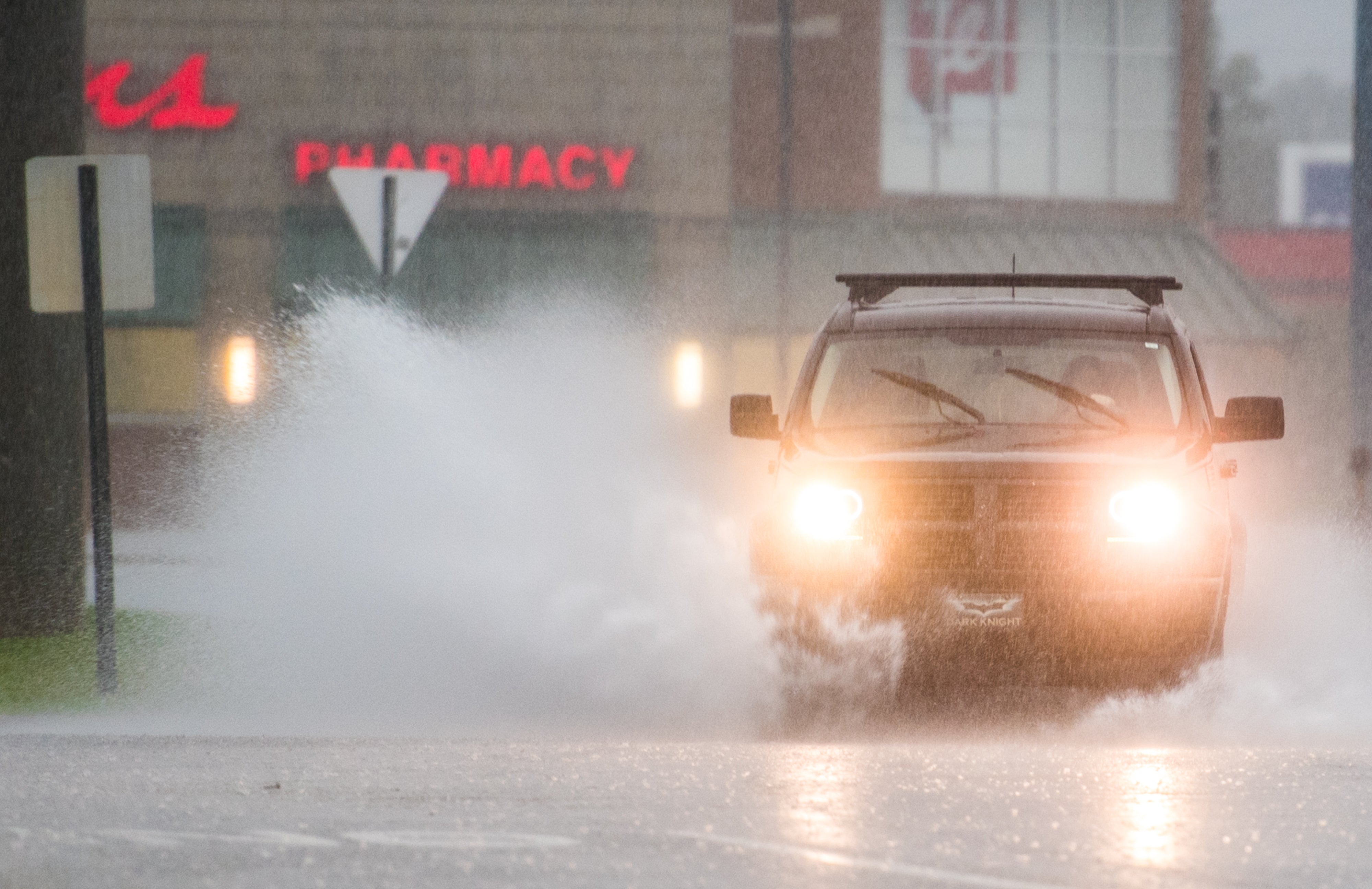
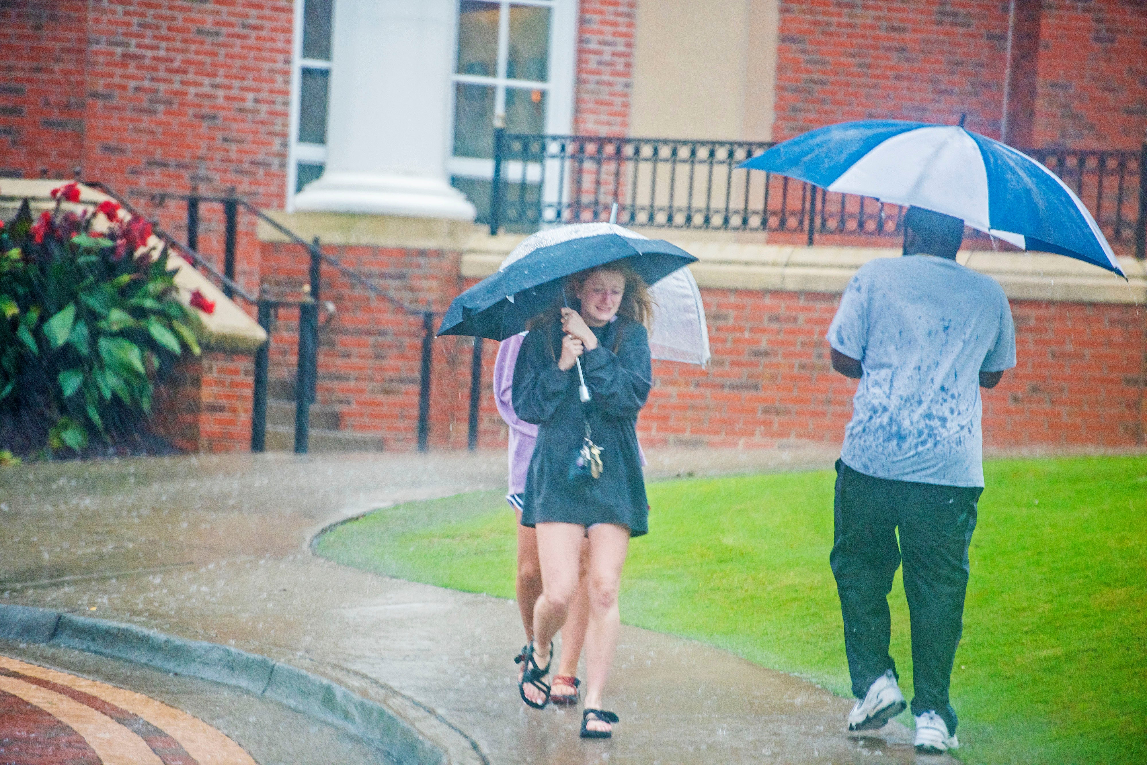
The National Weather Service forecast turned out to be spot on as the storm began to make the turn just before hitting shore and continued on through Southwest Georgia Wednesday night into Thursday morning, keeping Pike County on the edge of the storm and on the “good side,” bringing sustained winds of just 25 to 35 mph, with gusts of up to 50 mph, and rainfall of about 4 inches.
Interim EMA Director Herb Reeves said any shift westward in the projected track, any delay I making that eastern turn, could have brought a much more dangerous situation locally.
“I think the big thing is this could have very easily – if it had shifted a little bit to the west or stayed on a northern path – could have been a totally different situation for us,” Reeves said. “Dothan and Houston County have been hit pretty bad. We very easily could have been in that situation; we’ve been very fortunate that our problems have been limited to just some debris in the roadway, maybe a few trees down – nothing of any real significance … Our hearts go out to the counties in Florida, Alabama and even Georgia that have suffered a considerable amount of damage. We were basically anticipating the worst and hoping for the best. It looks like our hopes may have come through, but we always have to prepare for the worst-case scenario so we are prepared to deal with the situation.”
Utility crews for Troy and Brundidge as well as South Alabama Electric Cooperative were prepared for the worst as well on Wednesday, but very few outages were reported.
Troy Mayor Jason Reeves said a limb fell on a line near Adams Street, briefly knocking out power for a few residents, but linemen had power restored quickly. Andy Kimbro of SAEC said there were nine households in Pike County waiting for power to be restored Wednesday afternoon.
Local schools, government offices and some businesses closed due to the potential wind impacts of the storm and shelters were opened at the Troy Recreation Center, Trojan Arena and Troy University for evacuees, students or other residents that needed a safe place to stay during the high winds.
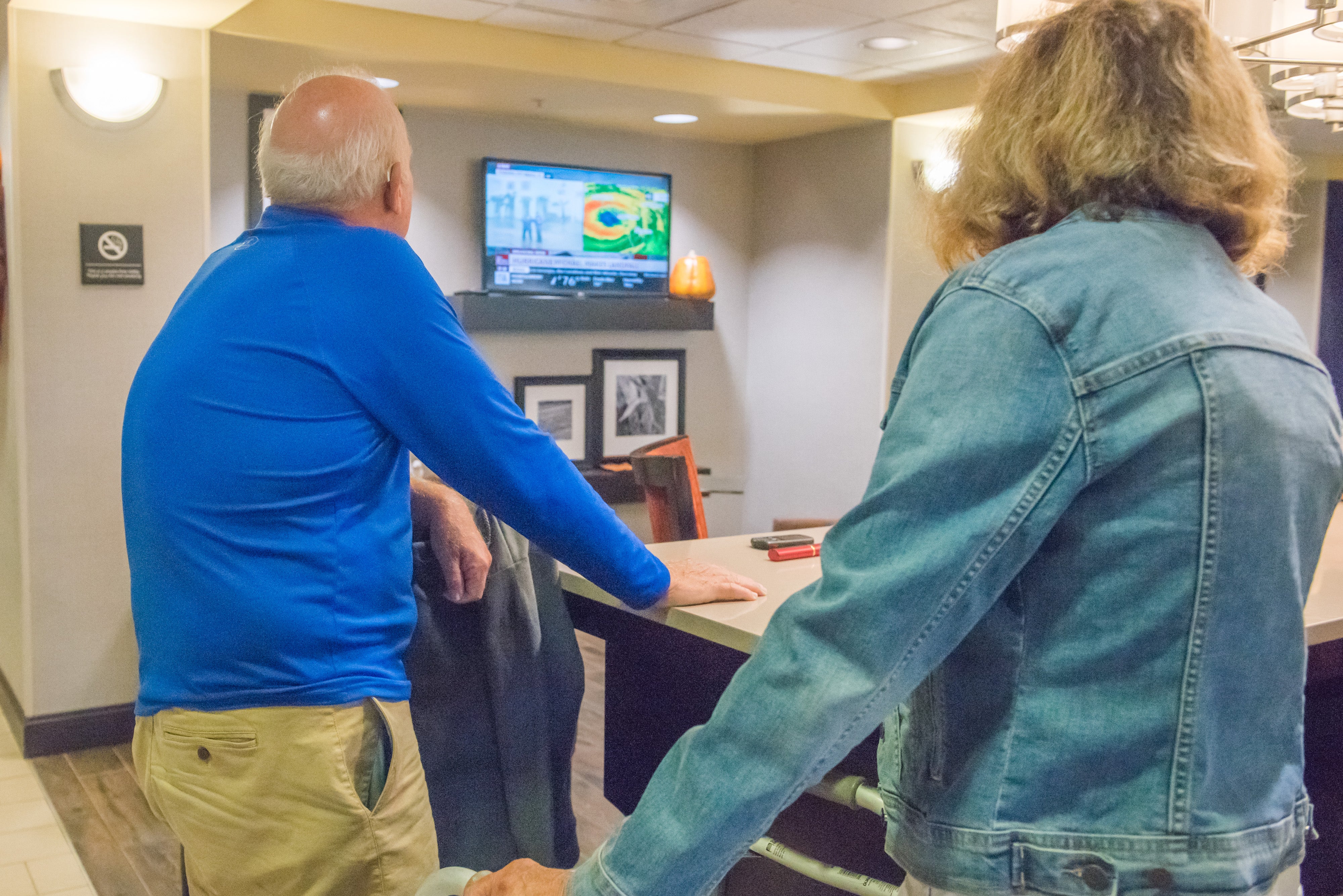
Many evacuees huddled around televisions in hotel lobbies or stood off to the side in discussions with other Floridians that had fled from the storm.
Steve and Linda Hougland watched news coverage of Michael’s landfall intently Wednesday at the Hampton Inn in Troy. The storm was just hitting the shore near their Panama City condo.
“We were watching the Weather Channel Monday morning and saw Jim Cantore a mile and a half from our condo and we knew it was time to get the hell out of there,” Steve said. “Our condo is on the first floor and it’s just across the street from the water, maybe a couple hundred yards.”
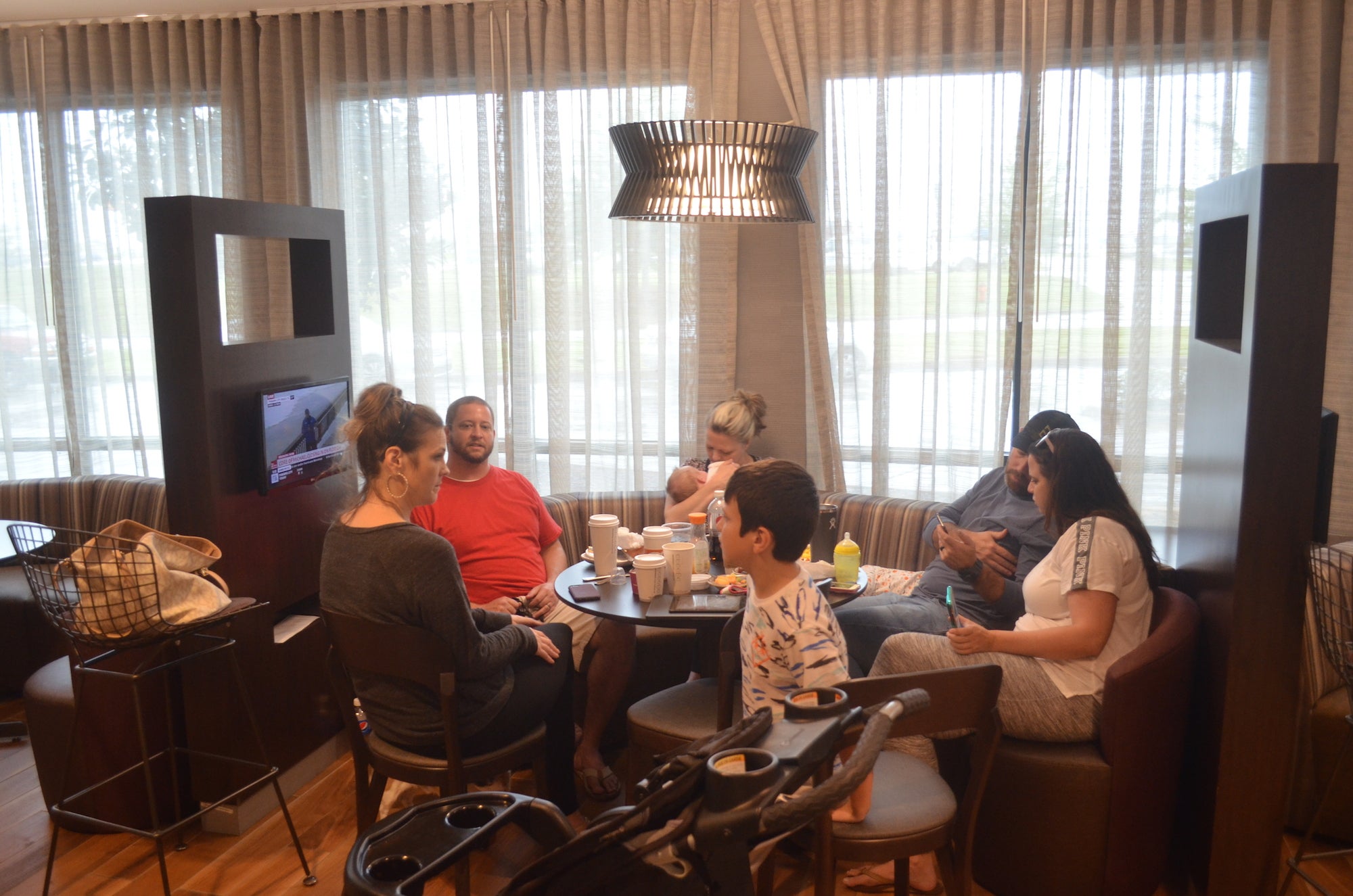
Gathered around a table at the Courtyard Marriott Wednesday morning, the Blasbichler family of Destin were nervously watching the weather on a tableside TV while finishing up their continental breakfast.
“We have 14 people here and seven dogs,” said Ashley Blasbichler. “We came in Monday night. We’re just hoping our homes are not flooded. My mom lives over the bay and she’s already seeing water coming over the seawall. And of course we’re concerned about it knocking trees down and knocking out power. We’re hoping to get home by Friday. It just depends on if the bridges are open and how bad Destin is hit.”
Across the lobby, Kendall Ennis of Panama City stretched out after driving in early Wednesday morning in a last-ditch evacuation.
“I wasn’t planning on leaving,” Ennis said. “I left out at 5:30 a.m. since they upgraded it to a category 4 and they said it was going to strengthen even more and it’s making a direct beeline for Panama City … I was looking on a booking website and every hotel I found with a vacancy, I called and they were actually booked even though it was showing availability online. I got on the phone with someone from customer service and was driving down U.S. Highway 231 telling her different cities to look for available rooms as I went.”
Ennis said she was nervous about the impact he storm would have on her home.
“There are a lot of old oak trees in my neighborhood,” Ennis said. “I’m more concerned about the wind then the storm surge where I live. I didn’t sleep at all last night; it’s been nerve-wracking.”
The evacuees were right to be nervous; Michael brought a massive storm surge and devastating winds to Mexico Beach and Panama City especially.
The meteorological brute quickly sprang from a weekend tropical depression, becoming a furious Category 4 by early Wednesday, up from a Category 2 less than a day earlier. It was the most powerful hurricane on record to hit the Panhandle.
“I’ve had to take antacids I’m so sick to my stomach today because of this impending catastrophe,” National Hurricane Center scientist Eric Blake tweeted as the storm — drawing energy from the Gulf’s unusually warm, 84-degree water — grew more scary.
Based on its internal barometric pressure, Michael was the most powerful hurricane to blow ashore on the U.S. mainland since Camille in 1969. Based on wind speed, it was the fourth-strongest, behind Andrew in 1992, Camille, and the biggest one of all, an unnamed 1935 Labor Day storm that had winds of 184 mph.
More than 375,000 people up and down the Gulf Coast were urged to evacuate as Michael closed in. But emergency authorities lamented that many people ignored the warnings and seemed to think they could ride it out.
The Associated Press contributed to this report.


